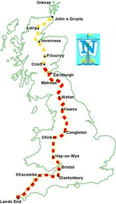
Mon 7th June - Day 52, Tillicoultry to Crieff (19 miles)

| Upper Glendevon Resr from Skythorn Hill, Ochils |
The Ochills may not be a big range of hills but there looks to be a lot of good walking here. The path to Blackford had been signposted signposted but once the path reached the top of the ridge at Maddy Moss it became indistinct and was not easy to follow down along the side of the burn to Upper Glendevon Reservoir.
I crossed the River Devon at the end of the reservoir at 09:00, from here the path was ok and it was easy going down the Glen of Kinpauch and into Blackford.

| Nest holes of Sand Martin or Swift, Glen of Kinpauch |
I had to walk east along the minor road to get to Whitehills then took the track along the side of the small plantation. Beyond this I lost the path again and ended up walking along the A822 for a bit, once over Machany Water I was able to take a footpath into Muthill.
From Muthill it was the grass verge along the A822 again to Crieff.

| River Earn at Crieff |
Bad news, the site was under new management and was closed. There was a man cutting grass on the site and he suggested the caravan park by the bridge when you come into Crieff from Stirling, I had already passed this and the OS map showed it was a caravan only park so I wasn't hopeful.
The manager was just closing the office as I trudged in, as I thought - no tents. There are no camp sites in Crieff!
When I explained what I was doing the manager gave me a vacant caravan pitch, thank goodness, I didn't fancy walking any further, the extra 2 miles meant I had walked 21 miles today.
A caravaner, Dave, gave me a flask of boiling water for my tea and a camping chair to use.
I hope all my other planned campsites exist.
909 miles completed.