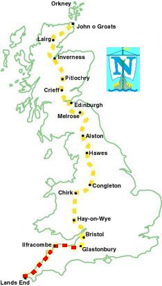
Tue 4th May - Day 18, Watchet to Moorland (20 miles)
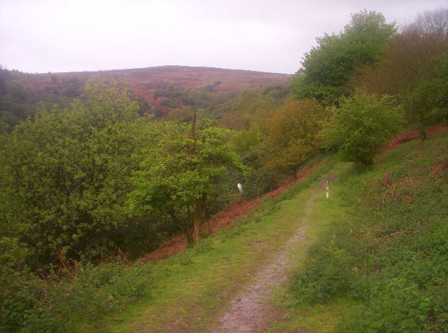
| Quantock Hills |
I woke to heavy rain but managed to get the tent down & rucsac packed without everything getting too wet.
The rain started to ease once I was underway at 08:00, using the minor roads, to avoid cutting through private land, I made my way southeast to get to the small patch of wood, shown as Staple Plantation on the map.
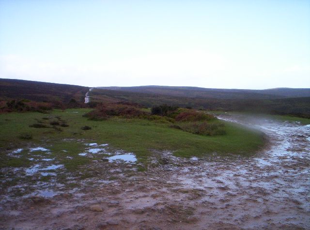
| Quantock Hills |
Once on the top this path became the Macmillan Way. The weather was now very heavy frequent showers, which included hailstones.
I was heading southeast, which went against the grain as I am supposed to be going north, on an easy track running for 5 miles along the length of the hills, terminating at a car park at Lydeard Hill. The sun had made a brief appearence so I snatched a quick 20 minute lunch break in this car park before the rain came back on. The view from the tops showed the way ahead was very flat.
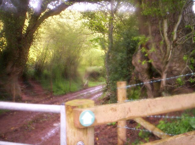
| Macmillan Way |
I picked up the Macmillan Way again here but this was a mistake as the path appeared to be little used and was in fields and tracks that cattle used and was like a mire in places. I cut back to the road again at Rooks Castle Farm and stayed on this to North Petherton.
There was no campsite to head for tonight or any remote areas to camp wild so I was looking for a B&B, I found nothing in North Petherton, the only village on the route, so I carried on walking.
Back on the Macmillan Way through an orchard, Petherton Park Farm and the canal and railway line to Fordgate, it was now 6 o'clock and the sun had finally come out but I was more than ready to stop.
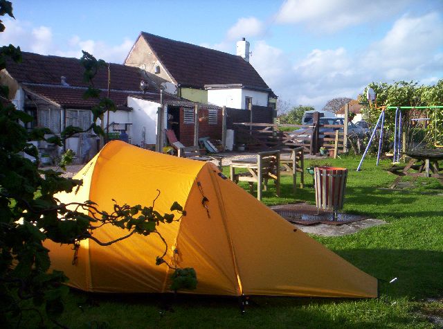
| The Thatchers Arms |
After pitching the tent I went into the pub for a delicious meal (diced steak in red wine - great!), the landlord didn't charge me for it and I also collected another £15 from the pub's customers.
I never saw a single hiker in the 20 miles I did today.
283 miles completed.
