Thu 29th April - Day 13, Appledore to Braunton (19 miles)

| River Torridge, Bideford |
After raining through the night it was a dry morning, although cloudy and I set off at 7:30 walking along the west side of the River Torridge into Bideford.

| Tarka Traill at Yelland |
I had to walk under the first bridge (carrying the A39) and continue on to the next bridge in the centre of Bideford.
After crossing over I headed back north on the other side of the river, this was into the face of a stiff cold wind & I needed to put a second shirt on.

| Barnstaple |
At Barnstaple I crossed over the river on the road bridge and after stopping for my sandwiches, continued on the Tarka Trail, west, on the north side of the river, to get to Braunton.

| River Taw, Barnstaple |
After walking 19 miles to be just 3.5 miles from where I was yesterday I had had enough & finished the day at the campsite on the west side of Braunton.
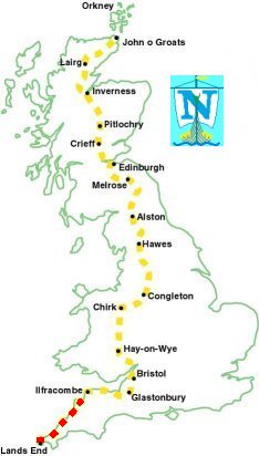
193 miles completed.