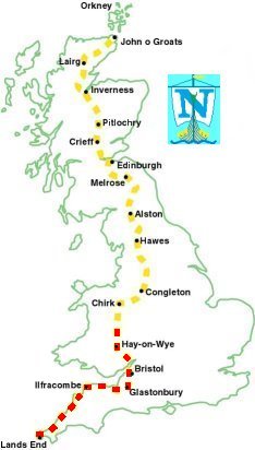
Thu 13th May - Day 27, Kington to Newcastle (20 miles)
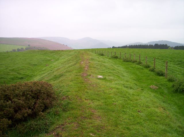
| Offas Dyke, Rushock Hill |
So it was a slightly delayed start today at 8 o'clock, I hadn't gone many metres when I heard a shout behind me, the cafe owner had noticed I had left my walking poles behind and he came out after me. That's the second time I have forgotten them!
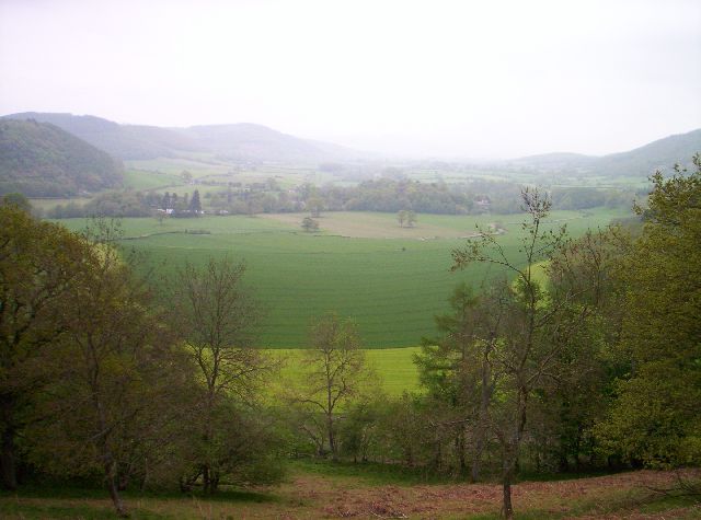
| Looking NW down the valley from Herrock Hill |
Offa's Dyke is an earth bank & ditch built about 750 AD by Offa, King of Mercia, along the border of his land with Wales.
It was over Rushock Hill and Herrock Hill then down into the first valley to cross Hindwell Brook.
Over the next hill and down to cross the River Lugg and up to Hawthorn Hill, at 407m this was the highest point of the morning, it was 12:30 so I stopped here for my lunch.
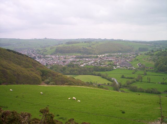
| Knighton from the north |
I got into Knighton at 14:30 and did some shopping and looked round the Offa's Dyke Visitor Centre.
The Welsh name for Knighton is Tref-y-Clawdd which means "Town on the Dyke" and it is the only Town that stands right on Offa's Dyke.
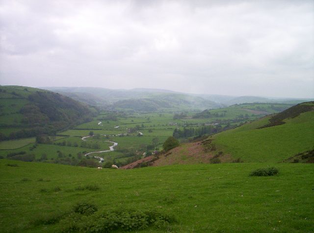
| NW up River Teme from Knighton |
This last section was easy, not really dropping back down any and I finished the day at 18:00 at Springhill Farm, just south of Newcastle, which let backpackers use a field next to the house.
It had been cloudy all day up to the last hour when the sun did manage to put in an appearence for a while.
434 miles completed.
