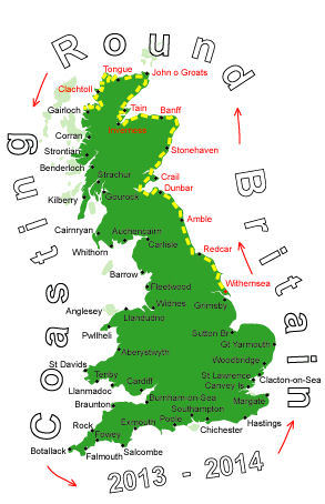
Log No 80. Sat 13th Jul 2013 - Poolewe to Ivors Bothy, 14 miles (1298 miles walked)

| Loch Ewe |
I wasn't planning on walking too far today as it was only about 30 miles to Gairloch where I was going to stop tomorrow night, consequently, I had a slightly later start at 08.40.

| Looking back over Firemore Beach |
Walking felt easier today and with no steep hills on the road I didn't bother using my walking poles.

| Cove |
For a road that just ends at a car park at the headland there was quite a bit of traffic. The only real tourist attractions would be the beach at Firemore and the views from the hill at the car park.

| Memorial to the Russian Convoy Sailors |

| The north coast of the headland |
This proved to be the case and with no big hills it was fairly easy going and I was aiming to find a suitable pitch for the tent towards the far end.
Although I never saw anyone there was enogh bootprints to suggest quite a few walkers do come this way.
There was a plaque about the sinking of an American Liberty Ship in 1944 during a blizzard.
It acknowledged the efforts of some of the local people in managing to save 12 of the 74 crew. The remains of 3 of the ship's lifeboats can still be seen on the shore.

| Camas Mor |
I cut inland a bit to make for the building I could see on the side of the hill, the map showed two ruins, as I got closer I saw it had a reasonable roof and discovered it was a bothy.
It is presumably used by walkers coming to the very secluded beach at Camas Mor.

| Ivors Bothy |
There is plenty of light in the building but it is draughty, not cosy and warm like my tent but I can sit in a chair to write the log.

| Inside the bothy |
A very pleasant 14 miles today.