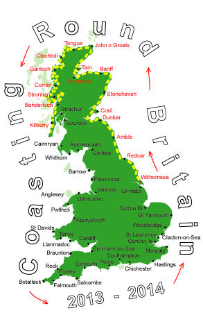
Log No 125. Sun 8th Sep 2013 - Largiebaan to Southend, 16 miles (1942 miles walked)

| The coastline from Largiebaan |
I woke through the night to see a flashing light outside, it took me a while to realise it was a lighthouse, 4 flashes repeated every 5 or 6 seconds. It may have been the Mull of Kintyre lighthouse but I don't know if I had a direct line of sight to it.
There was no change to the weather as I was packing up and with no visibility I would probably abandon my plan to wild walk over the hills to the lighthouse and just stay on the Kintyre Way to Southend.
Shortly after I set off the cloud did start to lift to give me some view.

| Looking to the hills |

| On the hills |
I didn't have to make a decision right away as I had to walk along the KW for a bit in any case.
The rain and wind soon ceased so I had no excuse not to go over the hills.
Initially I had to drop down a bit to cross Glenadale Water before the climb into the hills.
The grass and heather was not too long and with no ferns the going was better than I had expected, I even found a faint track going my way which also helped.
The route was generally south and the first part was following the line of a stream up to the top between two hills.

| Looking down to M of K lighthouse |
I had gone too far south before changing direction and ended up at the road just before the car park at the end. It had taken me 3 hours to cover these 6 miles.

| Mull of Kintyre Lighthouse |
The return trip to the lighthouse and the memorial to the Chinook crash in 1994 took me just over an hour.
The weather had now cleared up completely and I could thankfully take my waterproofs off.

| Carskey Bay |
I had quite a big detour to get round to Keil Point at the other end of the bay.

| St Columba's Footprints |
I found the footprints in a rock without a problem but there was no information about them. I didn't bother going to the well.

| Dunaverty Bay |
It had taken me 7 hours to do the 16 miles today so I was really glad I had decided to walk some yesterday as my original plan was to have walked from Machrihanish to Southend in the one day.
There was no Site Office at the campsite, and no tents either, one of the residents said the farmer would come along sometime. He hadn't been along by the time I left in the morning.