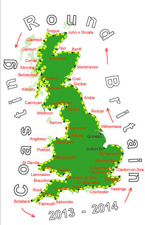
Log No 353. Sun 22nd Jun 2014 - Weybourne to Stiffkey, 13 miles (5389 miles walked)

| The coastline from Weybourne |

| The coastline at Cley Eye |
There might have been a footpath here once but past or recent storms have piled up the shingle burying fences.

| The footpath to Cley |
A decent footpath followed the road by the river into Cley next the Sea and although I had plenty of time I resisted the temptation to stop at the Windmill cafe and continued on the footpath on the other side of the river.

| Coming into Blakeney |
The good path continued along the edge of the salt marsh to the car park at Morston and I had collected £15 in donations from Derek & his partner and Pete & Mavis, many thanks.

| Looking to Blakeney Pt from River Stiffkey |
The Norfolk Coast Path carried on following the marshes and the High Sand Creek Campsite at Stiffkey was right by the footpath, I got here at 14.15.
The 13 miles had been quite tough today, mainly because of the shingle at the start.