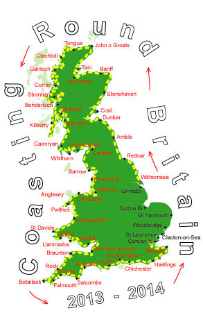
Log No 322. Thu 22nd May 2014 - Woolwich to Grays, 17 miles (4972 miles walked)
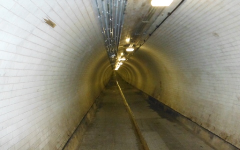
| The Woolwich Foot Tunnel |
I got packed up and down to the train station early and as it was only a short distance to Woolwich I was walking towards the Foot Tunnel at 07.15.
It wasn't a very big tunnel, 500m long at the most and there were 126 steps up at the north end.
I had no maps printed out of the Thames from here to the Dartford Crossing so I had to keep using the maps in the phone. I tried not to use it too often to conserve the battery and just tried to follow road signs.

| Looking to City Airport over King George V Dock |
The wind must have changed directions overnight as the planes were now coming into the City Airport from the east instead of the west.
I was hoping to pick up signs for cycle route 13 but was initially forced round in a loop when the pavement along the dual carriageway, A1020, was closed to pedestrians.
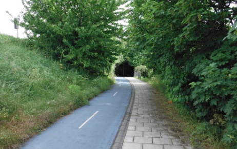
| The Cycle Superhighway CS3 |
It wasn't super long as I lost it when I got to Barking. I followed a minor road to get away from the noise but after a while decided to suffer the assault on my eardrums and get back on the A13 as it was a more direct route.
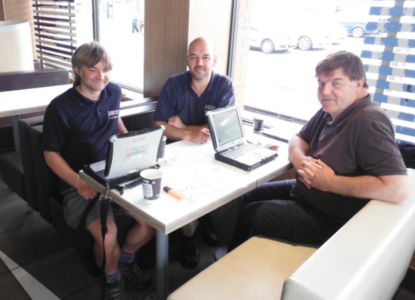
| Simon, Mark & Dave - Ordnance Survey |
I hadn't paid much attention to the three chaps with their laptops on the table next to me but while I was studying the map I had for the section after Dartford I kept picking up bits of their conversation.
Phrases like "road centre lines", "data points", "fence alignments" and "control points" sounded all too familiar to me from my 13 years in the Ordnance Survey and when I turned to look at them saw they were indeed surveyors from the OS London Team.
It's changed days since I last worked for the OS in 1986, they don't have local offices anymore with surveyors working from their own home. It must be quite a lonely occupation now with just the occasional meetings at a convenient location.
So it was handy coming across Simon, Mark & Dave as they could fill in the missing bits on my map. The cycle route on my 2012 edition of the map has big gaps in it and they were certainly able to fill in some of them.
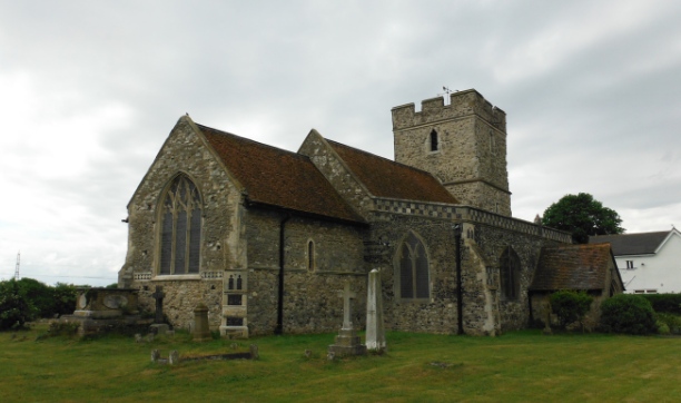
| Wennington Church |
From here it headed down down by the marshes to get to the bank of the Thames and follow it all the way to Purfleet, under the Dartford Bridge and on to Grays.
I realised it was a much longer walk than I had thought and a rest day was out of the question so I opted to stay on the road and take a more direct route through Wennington and on to Grays.
It was 14.15, 7 hours for 17 miles and still about 11 miles to go, they would have to wait until tomorrow. I did some shopping and then took the train to East Tilbury leaving a mile to walk to the campsite.
There was a very heavy downpour with thunder & lightening which lasted a good half hour while I was waiting for the train so that was a well timed decision.
