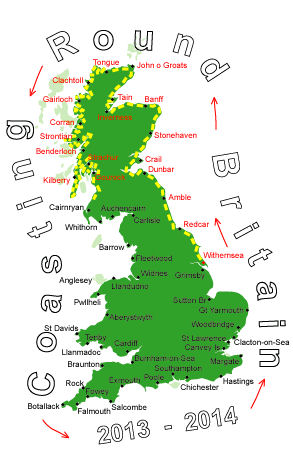
Log No 148. Thu 3rd Oct 2013 - Ayr to Girvan, 23 miles (2313 miles walked)
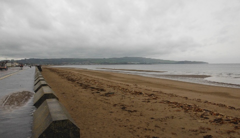
| Ayr Beach |
I walked along to the end of the Ayr sea front then it was a footbridge over the River Doon and on to the car park at Doonfoot.
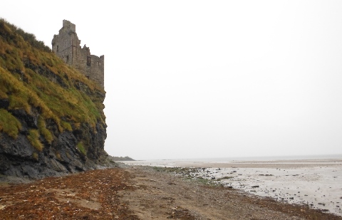
| Castle by Doonfoot, Ayr |
However, I stayed on the beach passing below the castle ruins and as far as the Holiday Park.
With a rocky shore ahead and no sign of a path marker I left the shore and went onto the main road.
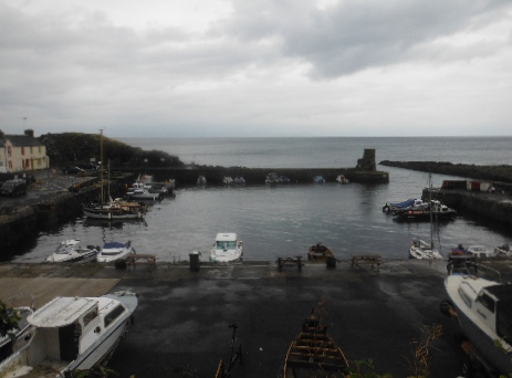
| Danure Harbour |
I went down to the harbour to eat a sandwich and saw an ACP marker, there was also a warning saying you should only go when the tide is low enough.
Although the tide was falling it was still too high to get over the rocks and as I wasn't going to wait I headed back to the road.
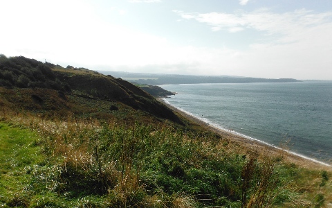
| Ayrshire Coastal Path |
It seems a very long time since I've followed a route like this, round the side of fields and proper stiles. There was a footbridge over a stream with a plaque saying it was built by the Rotary Club in 2012.
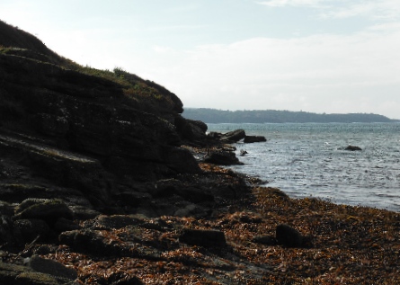
| Low water route ? |
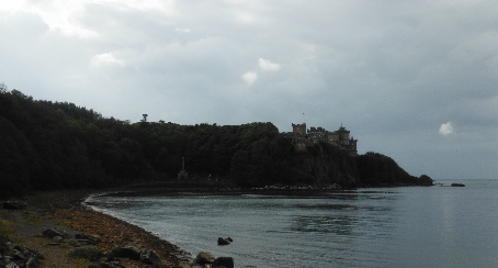
| Culzean Castle |
The next set of markers, put up by the Rotary Club, directed me through the grounds of Culzean Country Park and out onto Maidenhead Bay.
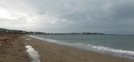
| Maidenhead Bay |
I tried to get round the coast but it was too rocky and not finding another marker went back to the main road.

| Turnberry |
I did see another marker pointing across the golf course to the shore, an additional notice said the path will not be accessible during major golf tournaments. I decided to stay on the road.
The welcome sign into Turnberry also pronounced "Golfers' Paradise".
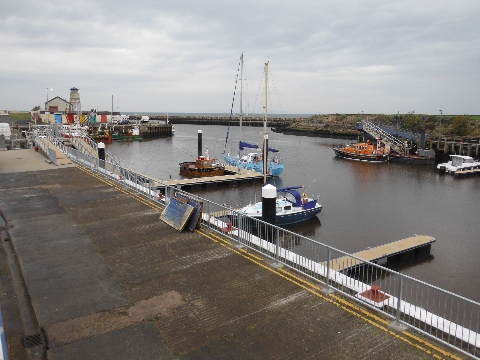
| Girvan Harbour |
It was a stoney beach and not really good to walk on, there was a bit of a path through the rough grass which did lead onto a road by some Sewage Treatment Works and then through the farm Girvan Mains and into Girvan.
The rain was just about to start again but this was my destination for the day so I sat in the bus shelter for 20 minutes to wait for the 16.30 bus back to Ayr.
23 miles with most of them on the shore or footpath for a welcome change.
I should try and find a map or leaflet showing the actual route of the ACP, it will take a lot of the guesswork out of route finding.
